
Keyword
Sentinel-2
1 record(s)
Type of resources
Available actions
Topics
Keywords
Contact for the resource
Provided by
Formats
Representation types
Update frequencies
Status
Scale
-
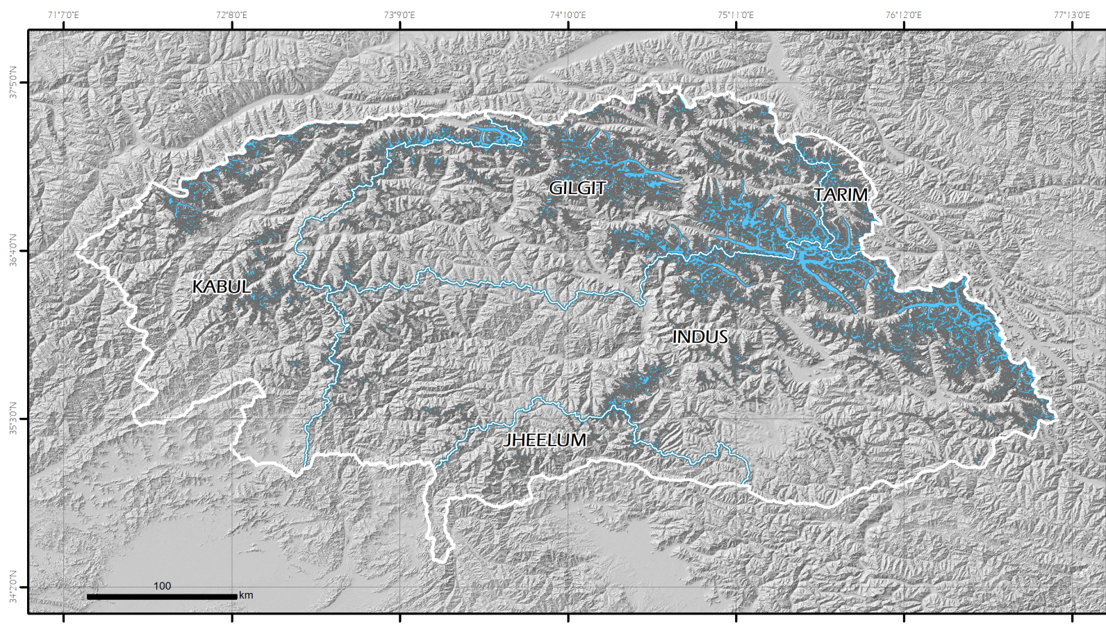
This new Pakistan glacier inventory has been extracted from optical data acquired by the European Space Agency Sentinel-2 twin satellites. This choice is dictated by the need to respond to the requirement to have homogeneous coverage of the entire territory under examination in terms of image acquisition dates, cloud cover and good spatial resolution, that allow the recognition of glaciers and their mapping. Furthermore, particular attention in the selection of the data processing and mapping methods was given for the expected prospect activity of updating the glacial perimeters and monitoring changes in the future. The methodology was based on a semi-automatic classification (segmentation) and the mapping has been implemented in a Geographic Information System (GIS) environment. In this new inventory, 13,032 glaciers covering 13,546.93 km2 have been mapped. The available inventory is the Version 1.0.