
Keyword
Boundaries
224 record(s)
Type of resources
Available actions
Topics
Keywords
Contact for the resource
Provided by
Years
Formats
Representation types
Update frequencies
Status
Scale
Resolution
-
The villages small town were divided in two layers. This layers has the small settlements. Data were collected in the field and ffrom existing maps and local information.
-
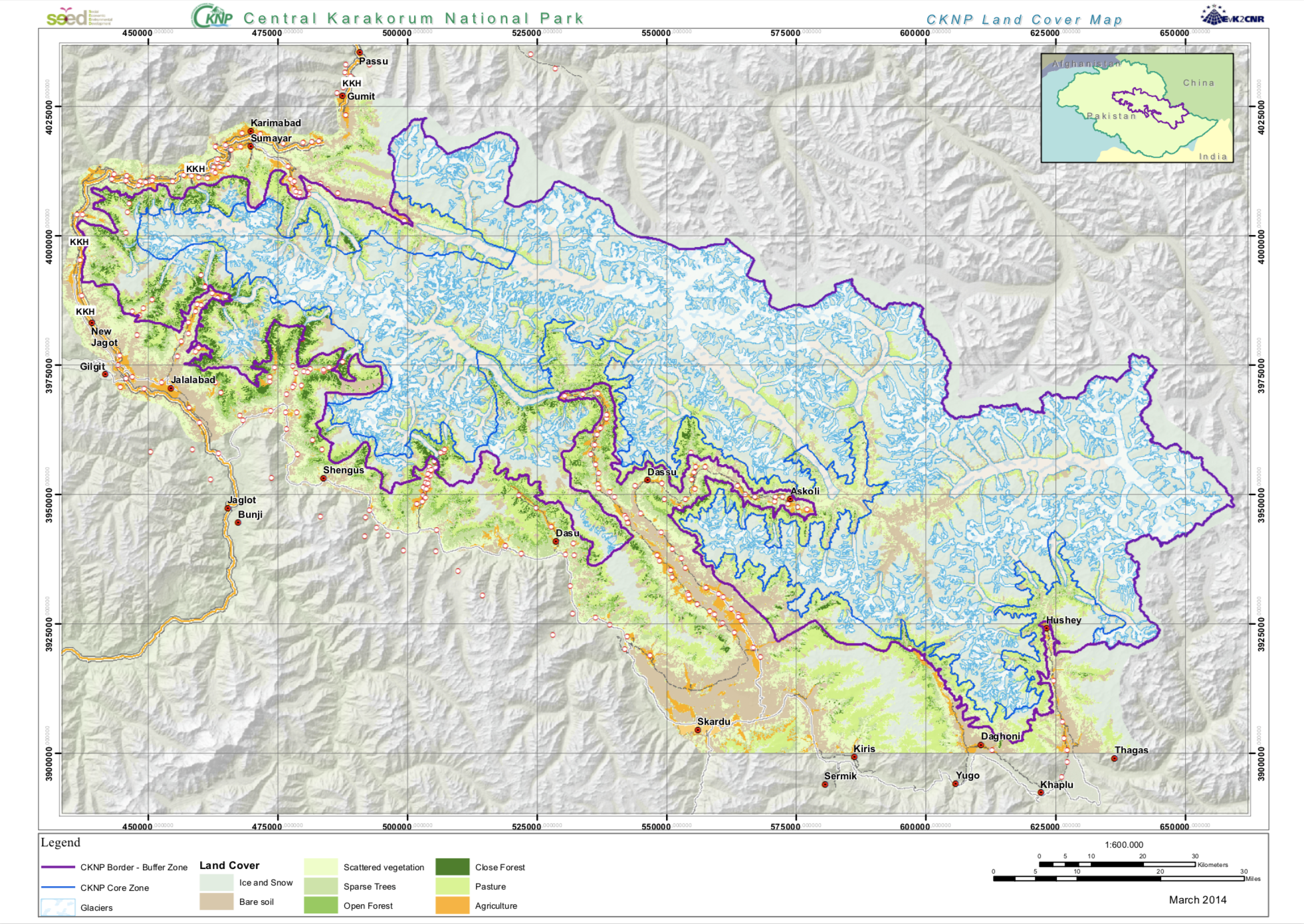
The Land cover map has been produced in the SEED project from Landsat satellite data applying a semi-authomatic classification.
-

In the framework of the SEED Project, in order to support the creation of the Management Plan for Central Karakorum National Park, a series of thematic map were produced. Alle the data were created in the time-range 2012- 2016. The maps were used to support the discussions between the specialists and the local communities to arrive at the final shared version of the CKNP Management Plan. All the data that are in the maps are original and processed in a GIS environment.
-
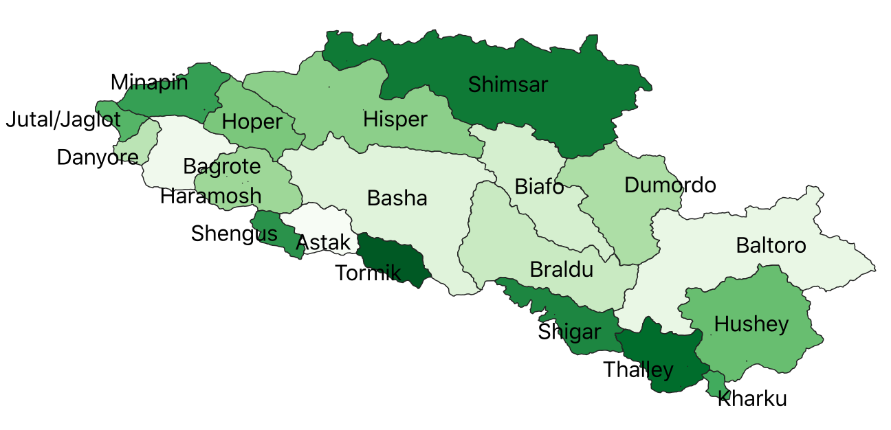
CKNP has been divided in 20 valleys on the basis of a physiographic base using the available GDEM
-
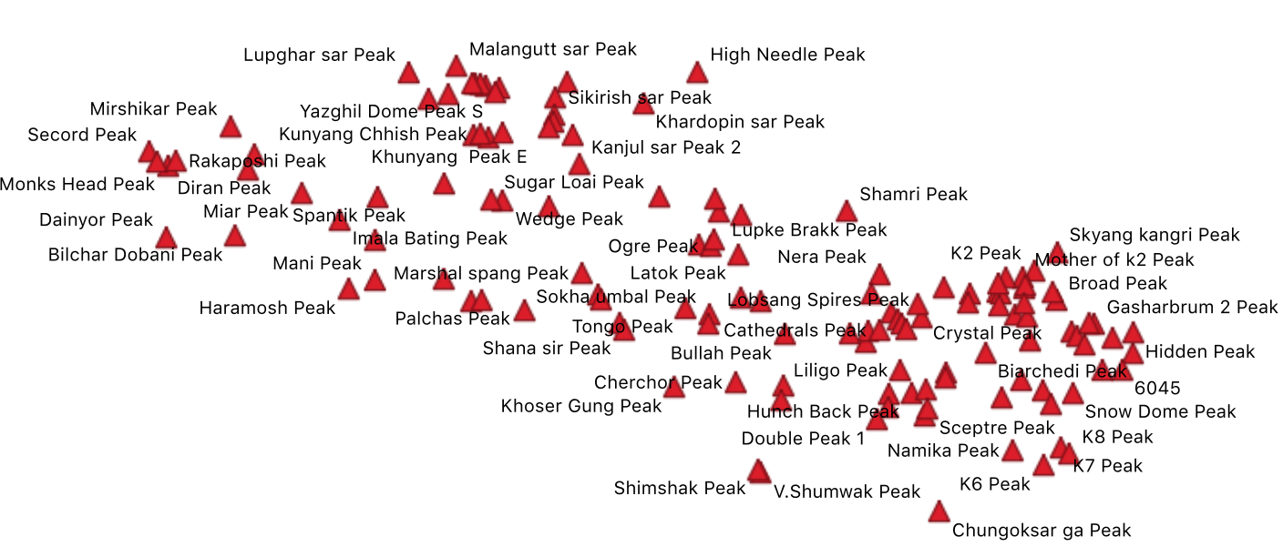
The main peaks in the CKNP are shown in this layer.
-
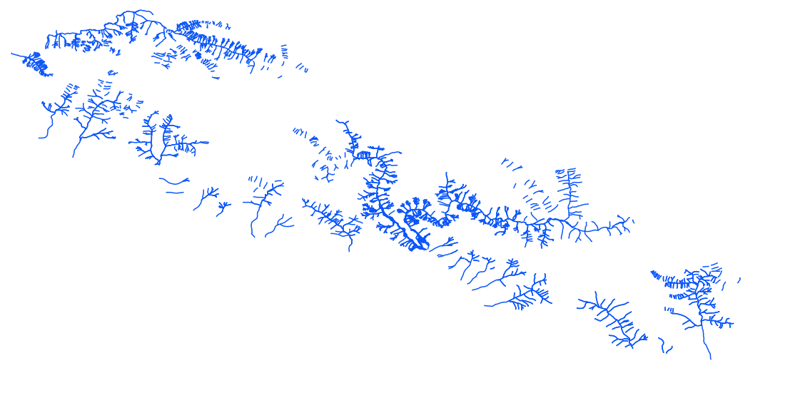
The rivers of CKNP in this layers were acquired ffrom visual interpretation of Landsat satellite data.
-
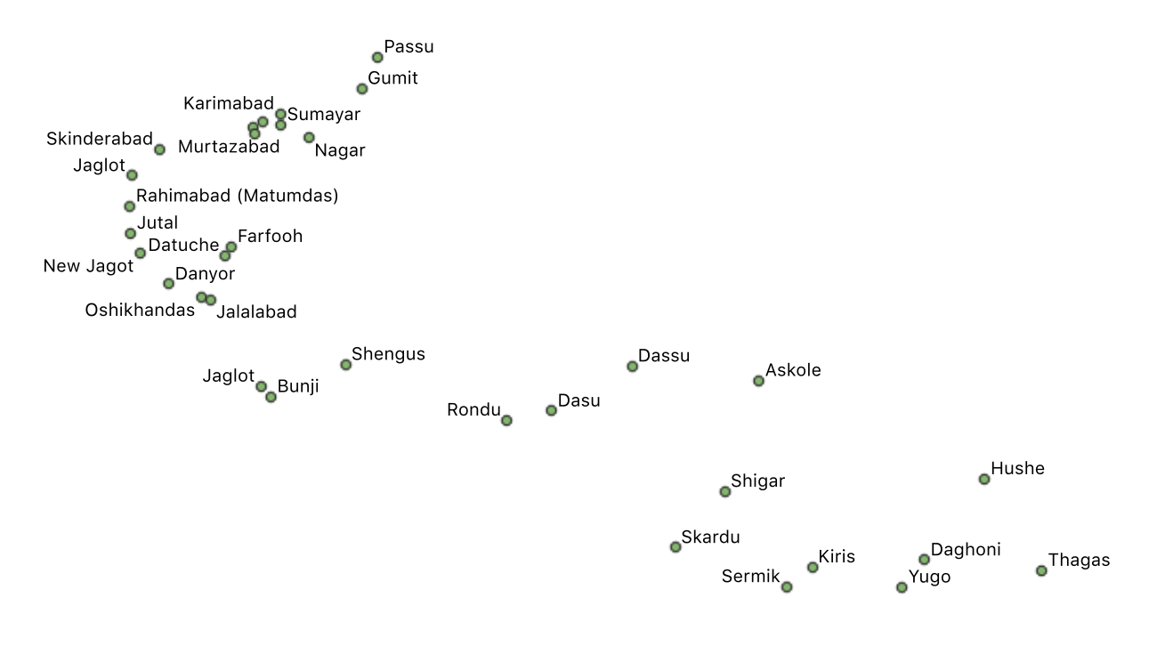
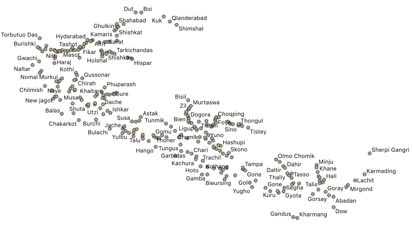
In this layer, the main villages of the CKNP are shown.
-
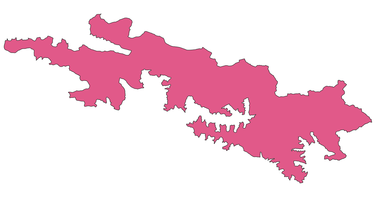
CKNP Core Zone has been produced in the framework of the SEED Project
-
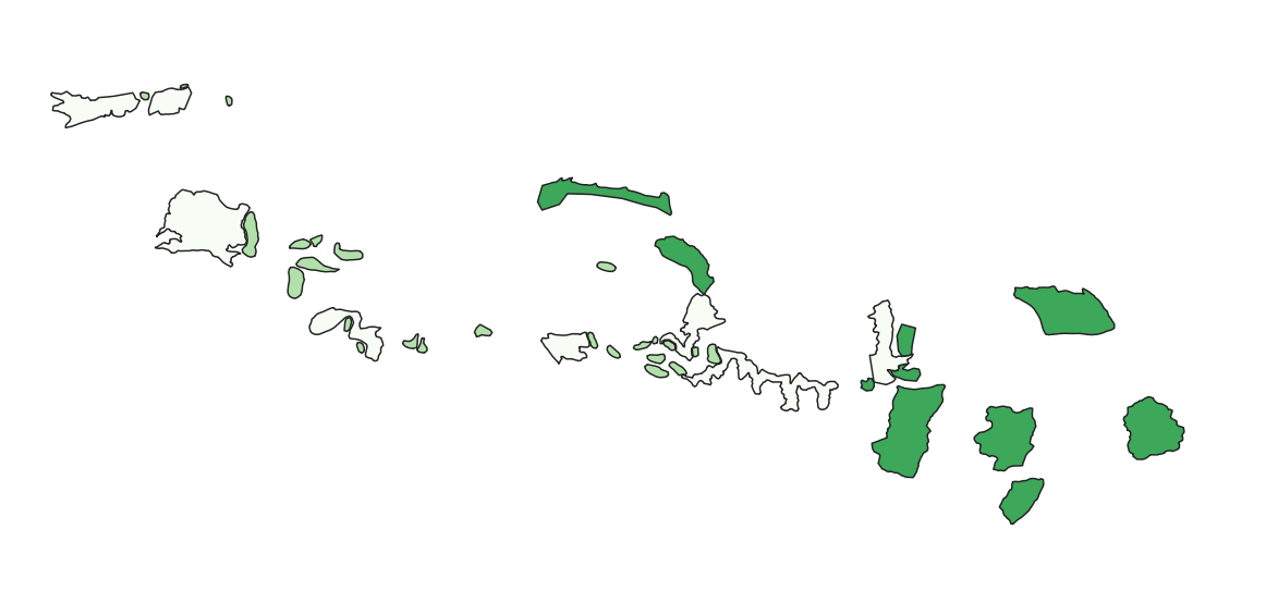
These protected areas were defined on the basis of the presence of ecological features and were discussed with the local communities. Specific management rules have been approved in the Management Plan.
-
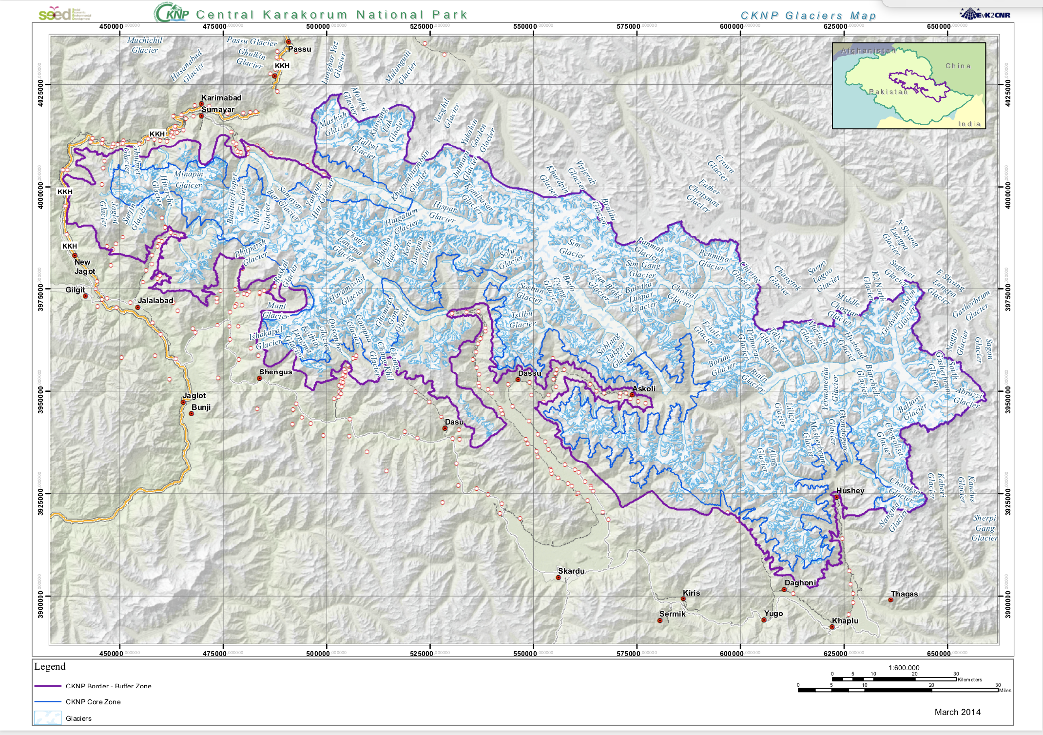
The Glaciers from Landsat imagery were mapped from visual interpretation