
Topic
boundaries
246 record(s)
Type of resources
Available actions
Topics
Keywords
Contact for the resource
Provided by
Years
Formats
Representation types
Update frequencies
Status
Scale
Resolution
-
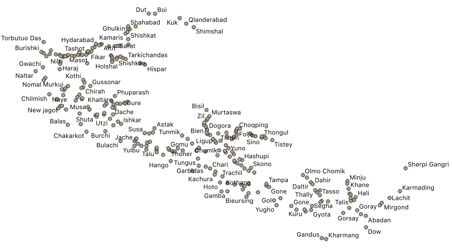
The villages small town were divided in two layers. This layers has the small settlements. Data were collected in the field and ffrom existing maps and local information.
-

-
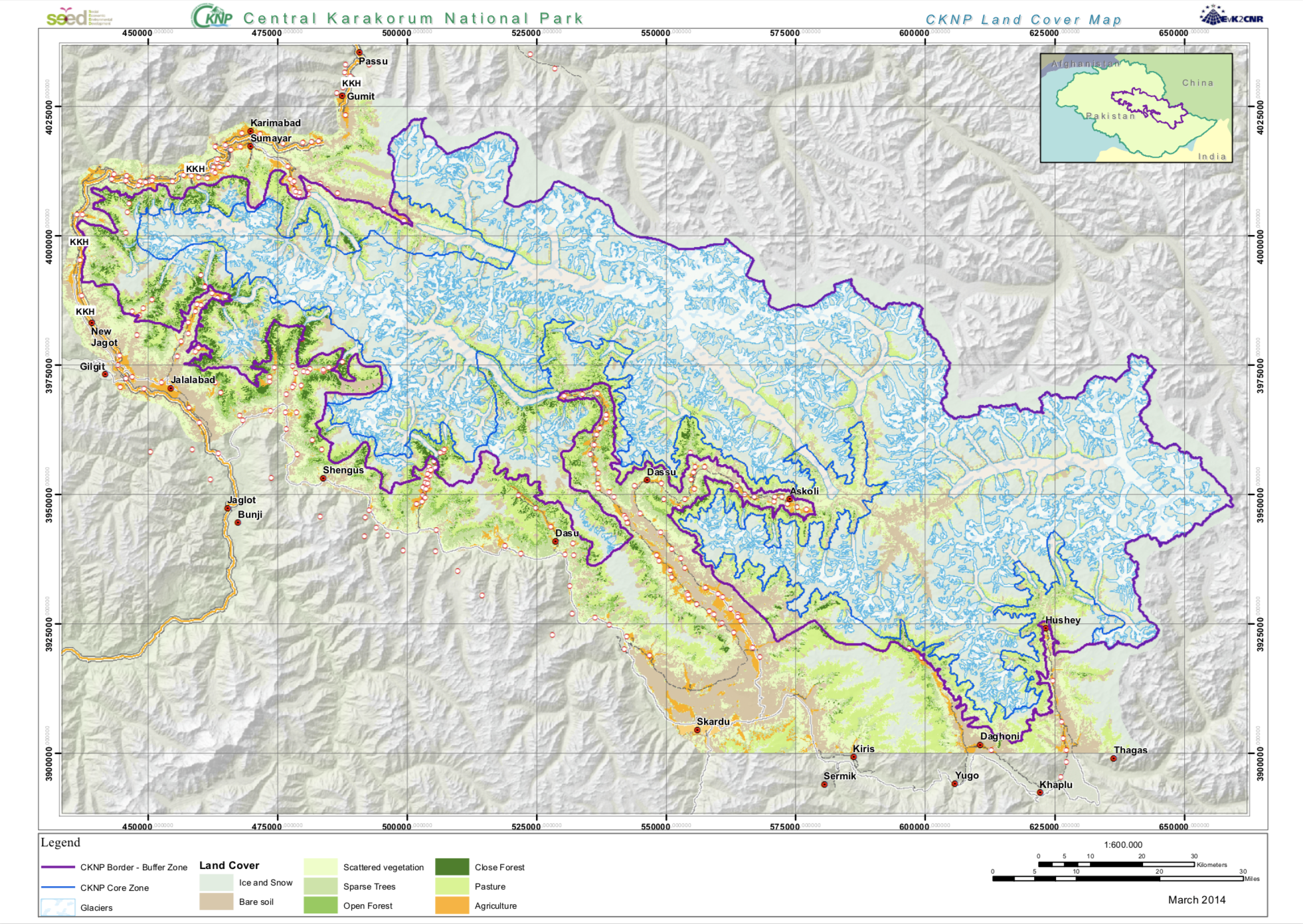
The Land cover map has been produced in the SEED project from Landsat satellite data applying a semi-authomatic classification.
-

Survey 2012 Date: 01 giugno 2012 Measure System: salt tracer Q (m3/s): 31,8 q (m3/(s km2)): 0,038
-
The ISO19115 metadata standard is the preferred metadata standard to use. If unsure what templates to start with, use this one.
-
The ISO19115 metadata standard is the preferred metadata standard to use. If unsure what templates to start with, use this one.
-
The ISO19115 metadata standard is the preferred metadata standard to use. This template is multilingual with a default language set to english. Other language could be used to translate part of the metadata record. Main language is define in metadata section. Other languages could be added to metadata section / locale element.
-
The ISO19115 metadata standard is the preferred metadata standard to use. If unsure what templates to start with, use this one.
-
Wet depositions have been collected at the EVK2CNR Pyramid site, in Sagarmatha National Park. Daily and weekly samples have been collected during the monsoon season in 2007 and 2008. Ionic content, total nitrogen and low molecular weight organic acids have been analysed by Ion Chromatography and colorimetric methods.
-

Place: Golabital, Biaho Lungpa Country: Pakistan Position: latitude 3948402 N longitude 587235 E Drainage Area (km2) :1749 Icy Area (km2): 411069 Altitude (m a.s.l.): 3098