
Keyword
Pakistan
128 record(s)
Type of resources
Available actions
Topics
Keywords
Contact for the resource
Provided by
Formats
Representation types
Update frequencies
Status
Scale
-

Survey 2012 Date: 22 maggio 2012 Measure System: salt tracer Q (m3/s): 7,5 q (m3/(s km2)): 0,005
-
Trekking routes of the Central Karakorum National Park.
-
The main settlements of Central Karakorum National Park. ????
-

Place: Basha Country: Pakistan Position latitude 3956201 N longitude 535705 E Drainage Area (km2): 1495 Icy Area (km2): 563 Altitude (m a.s.l.): 2460
-

Survey2013 Date: 25 aprile 2013 Measure System: salt tracer Q (m3/s): 32,742 q (m3/(s km2): )0,022 Date: 25 aprile 2013 Measure System: salt tracer Q (m3/s): 44,603 q (m3/(s km2): )0,030
-
Elevation contours (1000 meters) of the Central Karakorum National Park.
-
Roads of the Central Karakorum National Park.
-
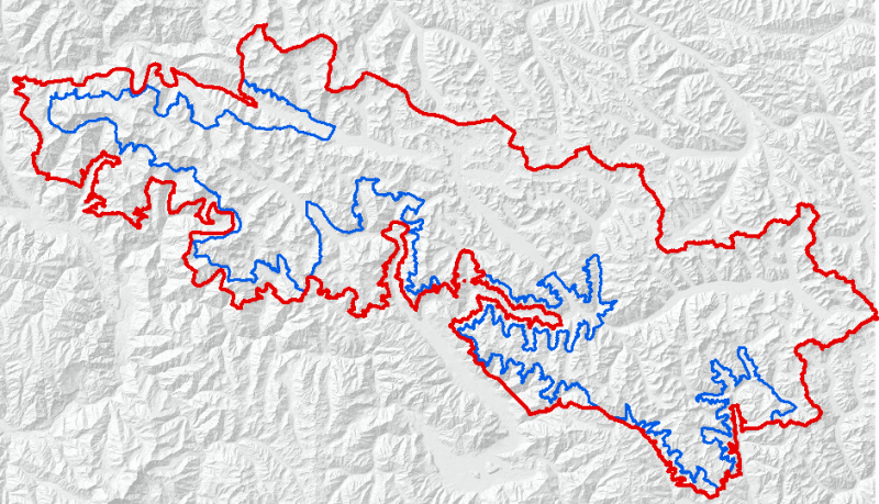
The data represents the new Central Karakoram National Park (CKNP) limit proposed in the document of the Management Plan in 2012. The data comprises the limit of the Core zone, as defined in the Management Plan
-
Rivers of interest in the study of the Central Karakorum National Park.
-

Survey 2012 Date: 01 giugno 2012 Measure System: salt tracer Q (m3/s): 31,8 q (m3/(s km2)): 0,038