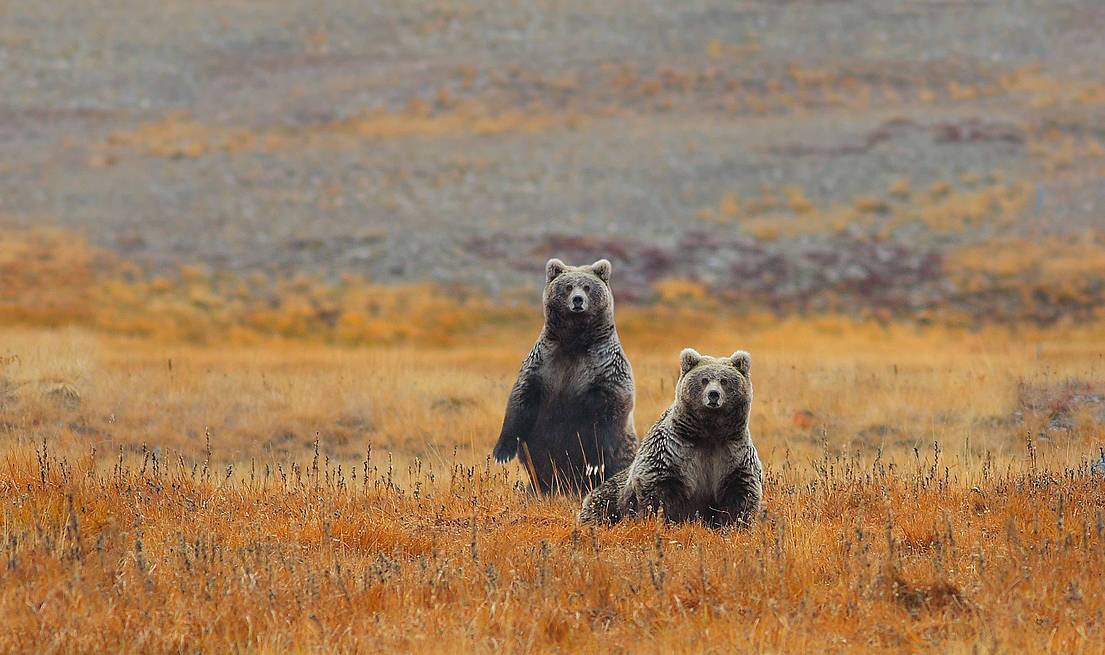
Deosai cartographic collection
In the framework of the project “Improvement of Central Karakoram National Park Management System as Model for Mountain Ecosystems in Northern Pakistan”, basic and thematic cartography of the area of Deosai National Park, in the province of Gilgit Baltistan in Pakistan has been realized.
The project, funded by UNDP (United Nations Development Program), sees the participation of the UNICA – Department of Chemical and Geological Sciences of the University of Cagliari, in support of the activities of the EvK2-CNR Recognized Association, on two main themes:
– Basic and thematic cartography of the area of Deosai National Park, in the province of Gilgit Baltistan in Pakistan;
– Update and reactivation of web publishing services of EvK2-SHAREGeoNetwork system data dedicated to data collected by high altitude stations (Himalaya – Karakorum) already present in the DB and to the data that will be collected in the field during this project.
The laboratory activities that mainly concern the realignment of existing databases, satellite data processing and the development of a mobile application for data collection and sharing, will be accompanied by field surveys and by the support of local technicians with theoretical and practical training sessions for data collection and management of web sharing systems.
The training activities will take place in the field and at the universities of Gilgit and Skardu, where days will be organized to involve local technicians and students.
|
|
Citation proposal
. Deosai cartographic collection. https://geoportal.mountaingenius.org/geonetwork/srv/api/records/73aba370-0fbf-4217-9fee-e00e9524db67 |
- Identification
- Distribution
- Quality
- Spatial rep.
- Ref. system
- Content
- Portrayal
- Metadata
- Md. constraints
- Md. maintenance
- Schema info
Identification
Data identification
Citation
- Date ( Publication )
- Edition
- Purpose
- Status
- Completed
Distributor
- Maintenance and update frequency
- As needed
- Keywords ( Theme )
-
- Maps , Thematic cartography , Remote sensing
- Keywords ( Place )
-
- Deosai , Pakistan , Baltistan
Legal constraints
- Access constraints
- Copyright
- Use constraints
- otherRestictions
- Other constraints
- Spatial representation type
- Vector
- Metadata language
- English
- Character set
- UTF8
))
Distribution
- OnLine resource
- gn:DNP_zoning
Quality
Data quality
- Hierarchy level
- Dataset
- Statement
Ref. system
- Reference system identifier
- WGS 1984
Metadata
Metadata
- File identifier
- 73aba370-0fbf-4217-9fee-e00e9524db67 XML
- Metadata language
- English
- Character set
- UTF8
- Date stamp
- 2024-04-22T11:47:44
- Metadata standard name
- Maria Teresa Melis
- Metadata standard version
- 1.0
Point of contact
Overviews

Provided by

